Petrified Forest National Park: Part Three
We’ve been exploring Petrified Forest National Park by making our way from the South entrance and stopping at each attraction along the way. When we last left off, we were around the center of the park having just hiked inside the Blue Mesa area and took in some of the amazing views. As always, if you would like to catch up and explore the previous episode of our look into the park, you may watch our video or read our blog. Without further ado, it is now time to continue our northward trek.
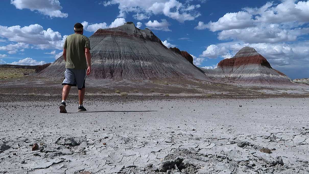
The first destination was the Teepees. As you might imagine from the name, the features look like giant teepees. What makes them so unique is the very defined colored layers. These layers are one of the best examples of the Blue Mesa Member. The Blue Mesa Member is a formation of the Chinle Group, a late Triassic formation consisting of mudstone, sandstone and siltstone. What this means is that these distinct layers were formed approximately 200 million years ago. Talk about old! While you can certainly stop at the side, there are no signs prohibiting visitors from getting a closer look. We took the opportunity to do just that and the grey and red-violet layers really are stunning.
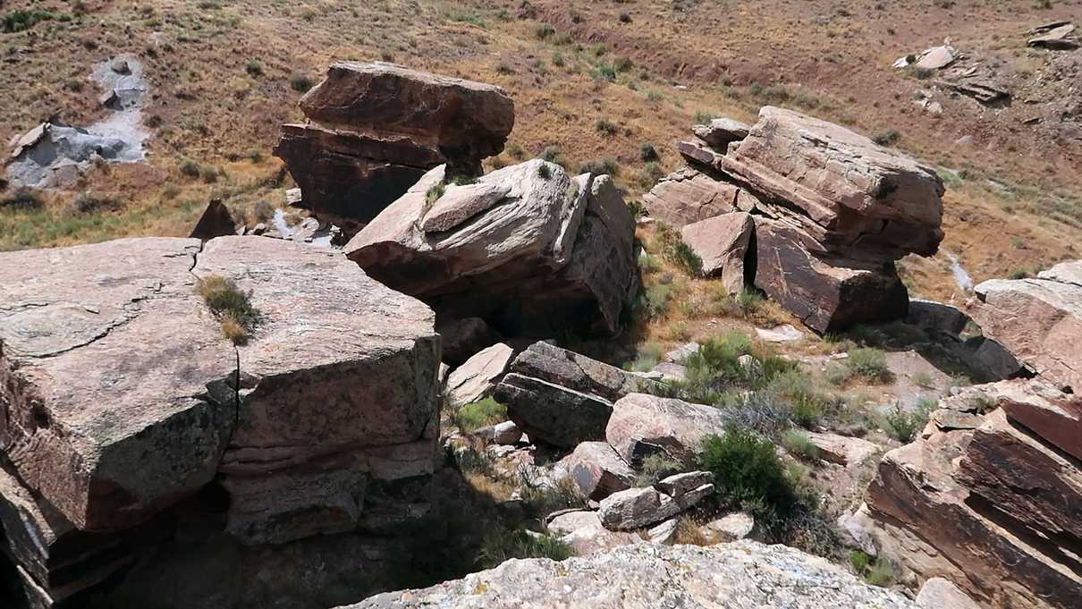
After our short little hike around the Teepees, we hopped back in our car and continued driving north to our next destination which was Newspaper Rock. This site is a grouping of large rocks with an immense collection of petroglyphs covering the surfaces. It isn’t entirely clear if there is a cohesive narrative between the petroglyphs. The theory is that more than likely these markings were made to mark calendar events, spiritual meanings and family symbols.
While we were there, we did not see any clear pathway to get closer to the rocks. At many other locations we have been, rocks with petroglyphs are often off limits so it wouldn’t be out of the question to assume that these too are protected from the traffic of visitors. At the overlook there are a number of binoculars aimed at different areas that allow you to get a closer look.
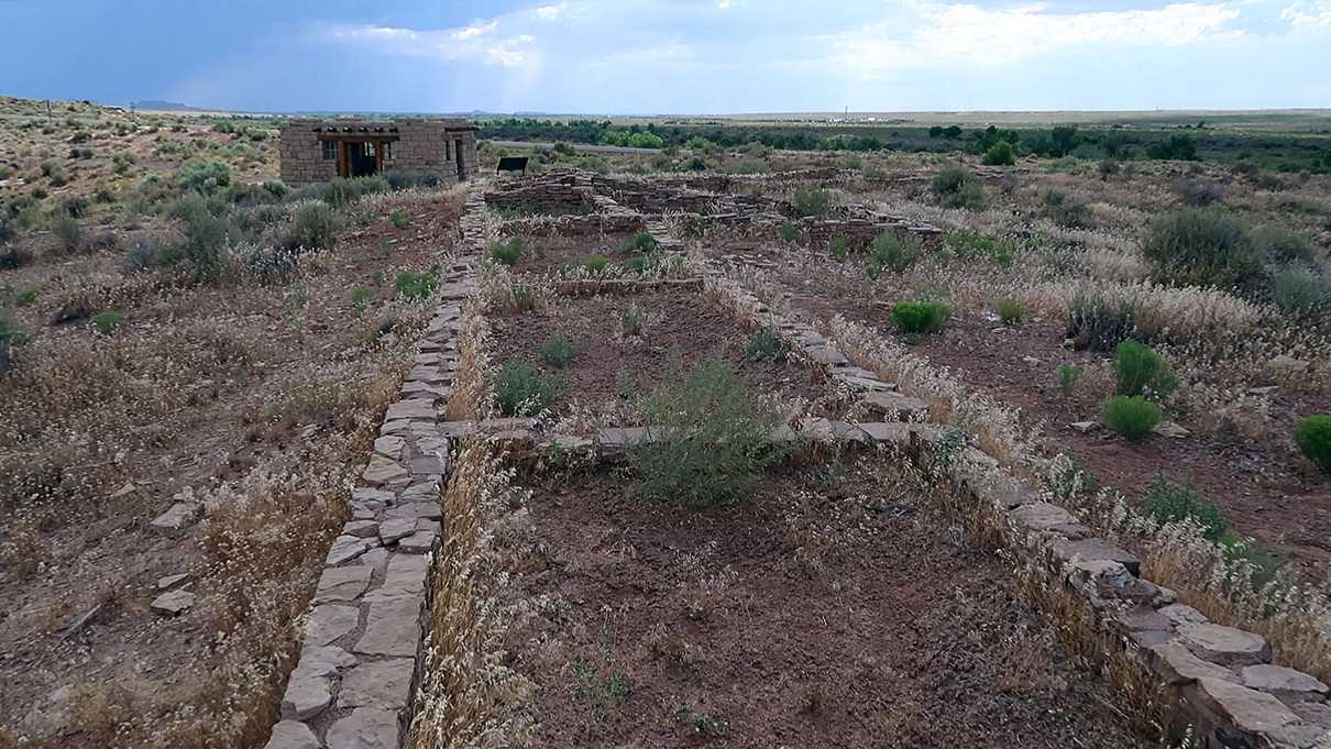
The assumption is that the artists of Newspaper Rock might have been the residents of Puerco Pueblo - our next stop. The village was named after the nearby river, Rio Puerco, which provided irrigation necessary to sustain life via farming and trade. The population of the village may have been as large as 200 people who lived as a community in one-story sandstone buildings arranged around a plaza area. Much like many communities in similar areas, climate and drought were likely causes of the village to be abandoned as residents moved away.
The loop trail is an easy 0.3 mile trail. Walking around Puerco Pueblo now, visitors will see sunken kivas, foundations of rectangular rooms and many educational signs. More rock faces are dotted with additional petroglyphs. However, one of the highlights at Puerco Pueblo is another petroglyph referred to as the Solar Marker - a swirling symbol which a line of sunlight crosses around the Summer Solstice.
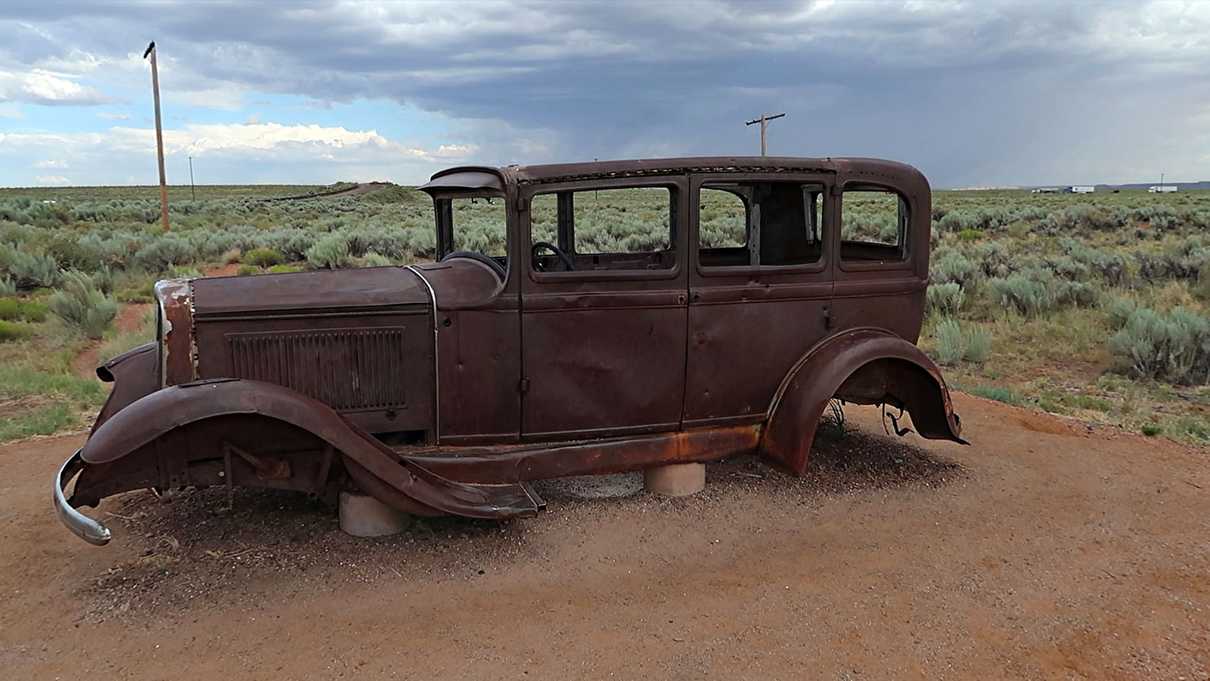
The final stop before we entered the Painted Desert section of Petrified Forest is a bit distanced from the rest of the park we have visited thus far. North of Interstate 40 is a little memorial to Route 66. This exhibit is a bit of a newer addition to the park.
At one point Route 66, the Mother Road, cut straight through the park. Here at the exhibit, one can still see the telephone poles that would have lined the section of highway. A rusty 1932 Studebaker is on display that visitors can peer at. Standing here in this section at the park taking in the landscape with the sound of the Interstate nearby you can get an interesting comparison of travel throughout time.
Well, here we are… almost through our exploration of Petrified Forest National Park. In our next episode we enter the Painted Desert portion of the park and you might almost forget about all those hundreds and hundreds of petrified logs we saw a short time ago.
We hope you’ve enjoyed our exploration so far and as always our video shows more than words could ever convey. Feel free to watch if you haven’t already!


